Bödeker Environment focuses on environmental planning encompassing both scientific research and field services. We believe that integrated and creative thinking in multidisciplinary teams is essential for the successful development of innovative solutions for today’s complex built environment.
Field surveys in combination with desktop, satellite and data analysis form a sound basis for all planning projects, management and operations or maintenance work. Site-based data collection or long-term monitoring advises on environmental values of a development site. The findings substantiate an impact assessment or pre-planning study and provide input on protection requirements or mitigation measures.
Documented environmental frame conditions are essential for large scale landscape and strategic planning projects. Individually composed data sets can help to identify high-value zones and contribute to the definition of development and protection measures.
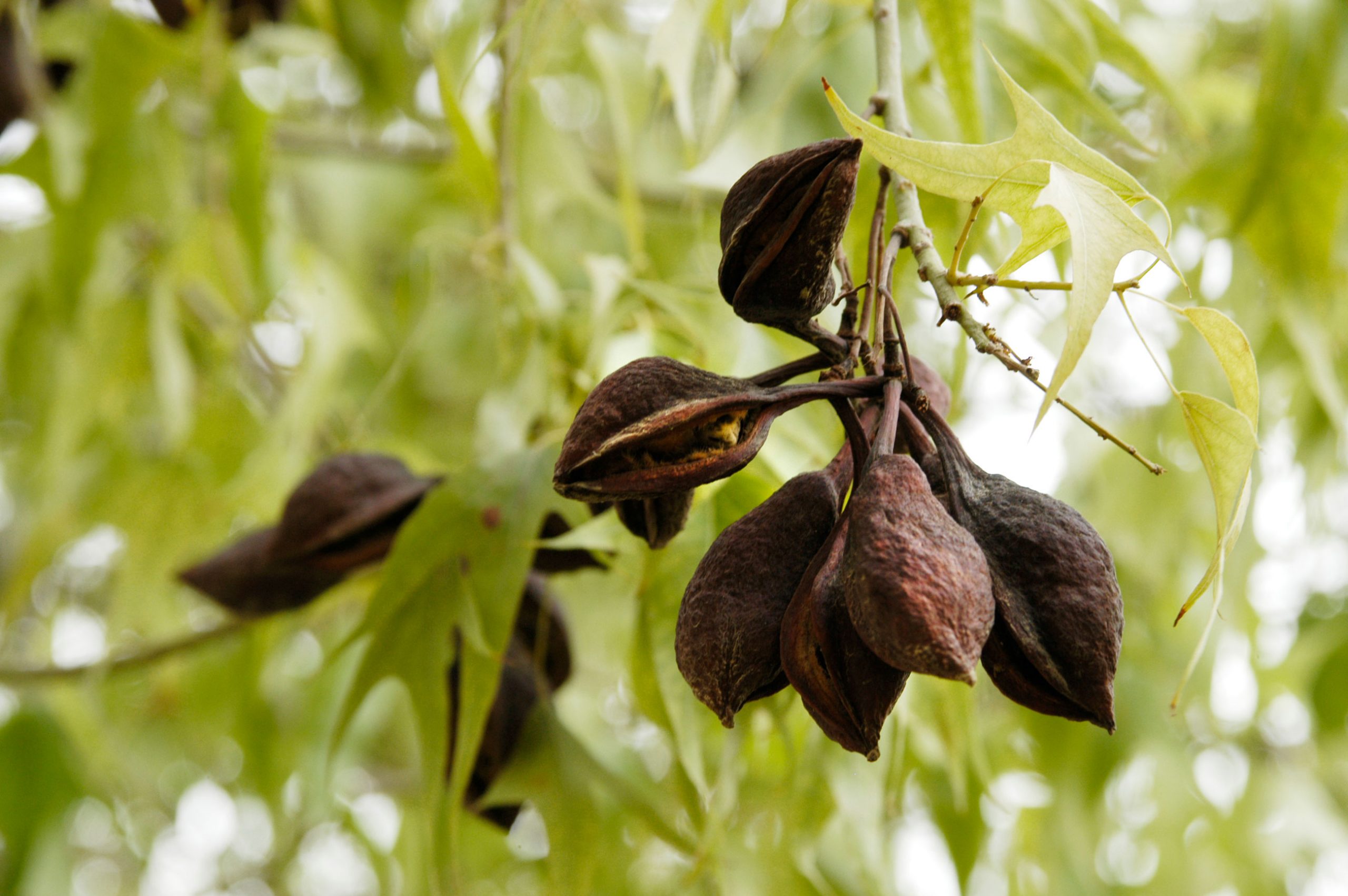
Urban and natural environments and ecosystems are managed and controlled according to regional, local or national goals and strategies. The monitoring of site conditions such as biodiversity, climatic and soil conditions and the human impact contributes to management actions or responses.
Through the active participation organisations, associations, and user groups have the
opportunity to contribute their interests and needs during the planning process. More knowledge about selected topics promotes a more environmentally aware attitude of the population and, consequently, the acceptance of projects.
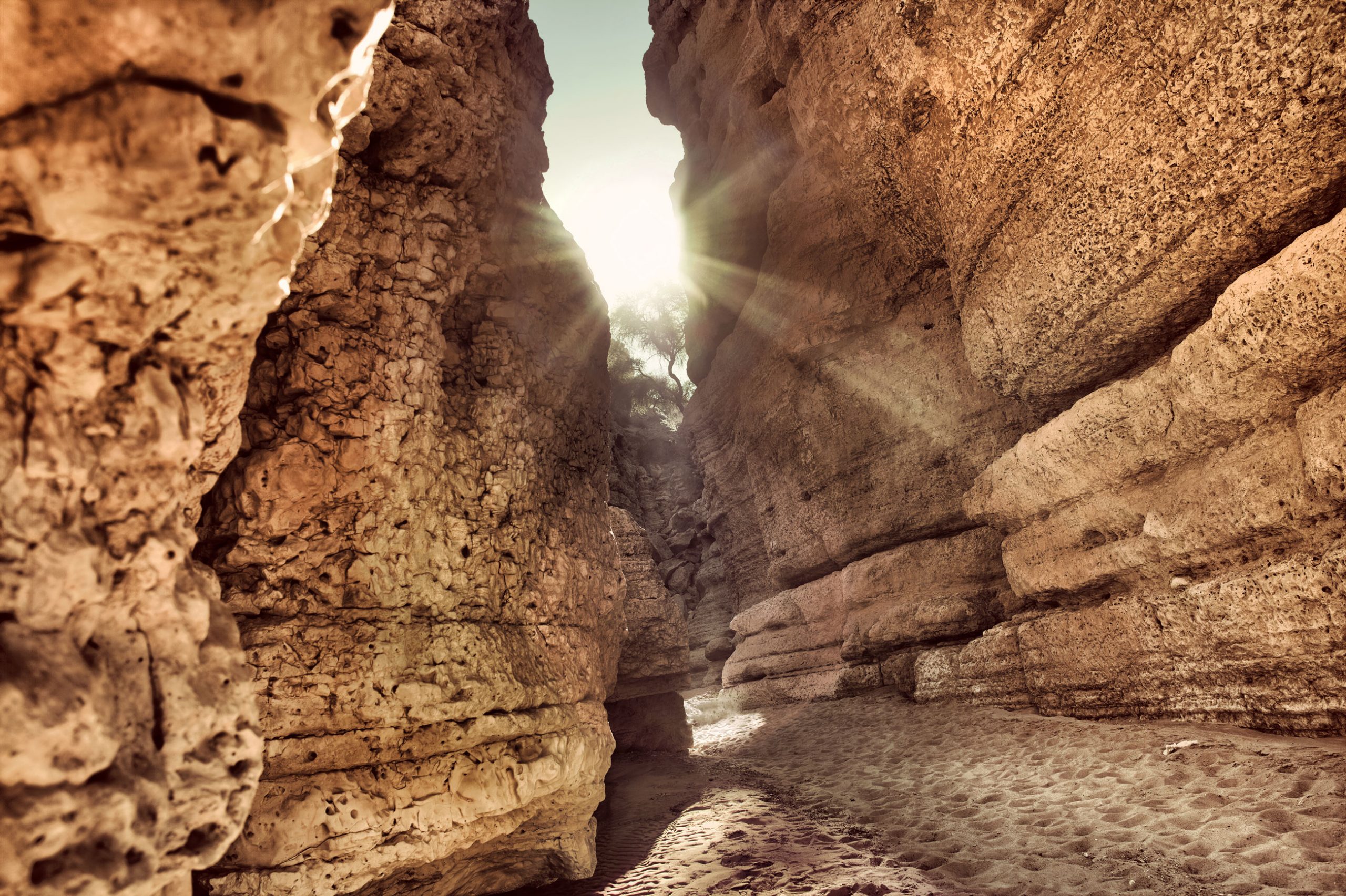
Nature is not
a place to visit,
it is home.Gary Snyder
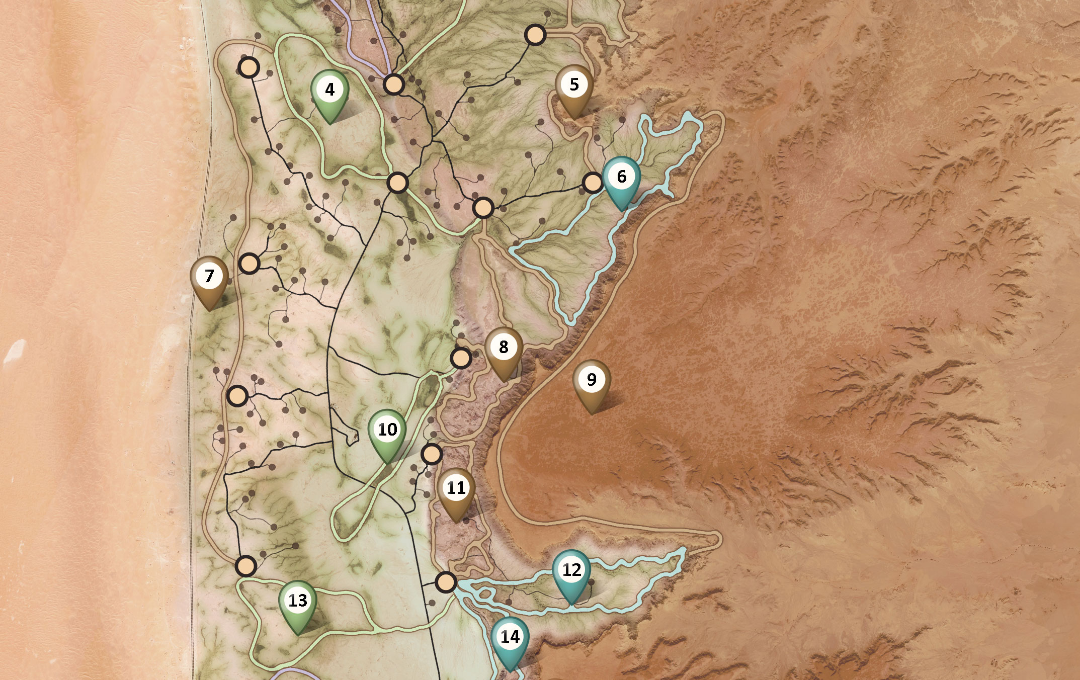
The Thumama Nature Park with 170 sqare kilometres contains more than 200 desert camp sites, designed as permanent bedouin tents with kitchen, rest rooms and barbecues. All infrastructural buildings are hidden under small hills which fit harmoniously into the landscape. Native plants are used, and the existing vegetation was protected to guarantee the sustainability of this project.
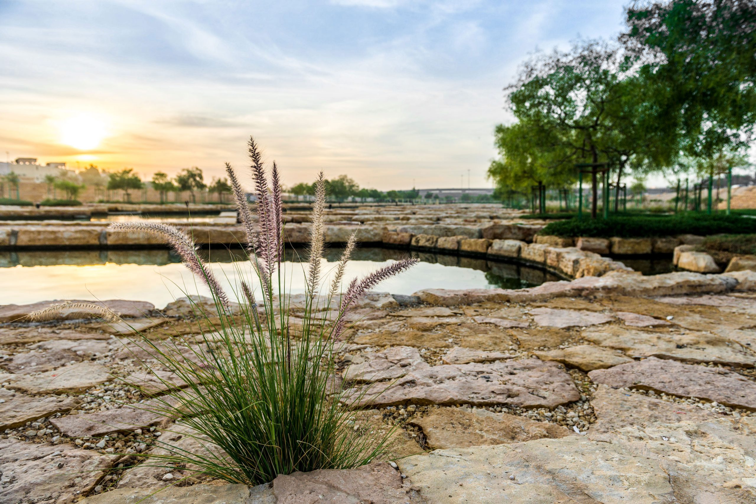
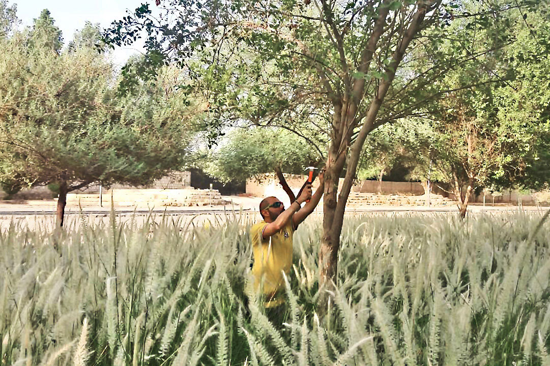
Wadi Hanifah is Riyadh’s iconic wadi system and was restored from degraded landscape into an urban and semi-natural parkland in 2007. The 120-kilometre long linear landscape requires ongoing maintenance to provide a high-quality experience to Riyadh’s residents. Parks, gardens, and
facilities require intensive preventive and corrective maintenance, whereas the semi-natural parts are handled as a natural system with a higher disturbance. Balancing usage pressure, expectations and ecosystem health is a core challenge during operations and management of the parkland.
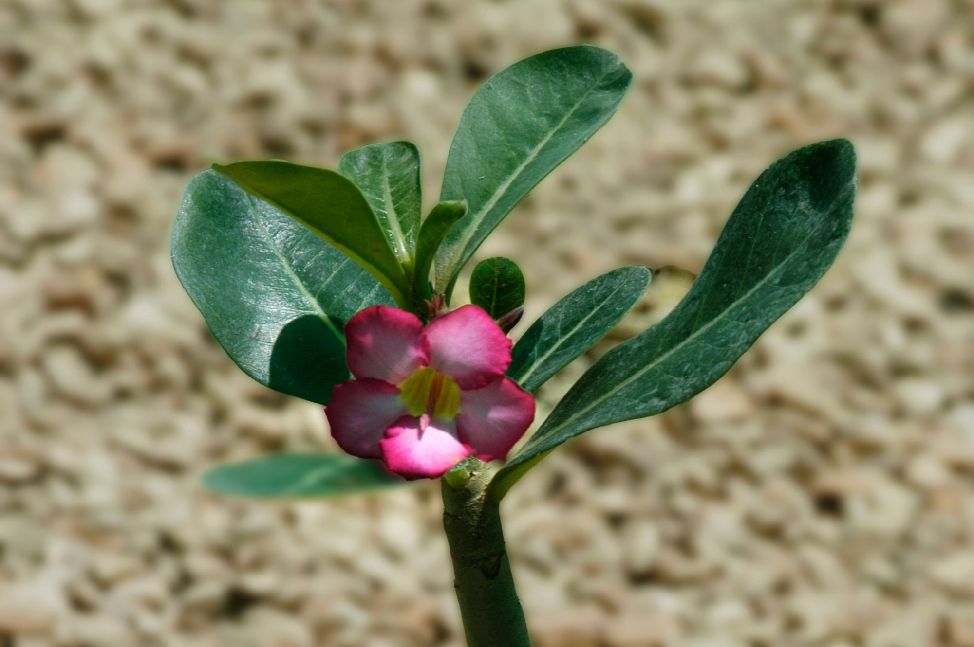
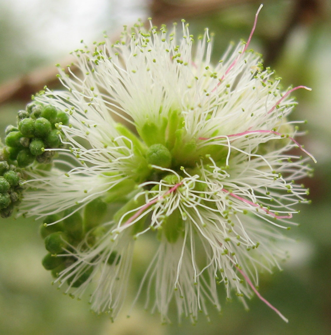
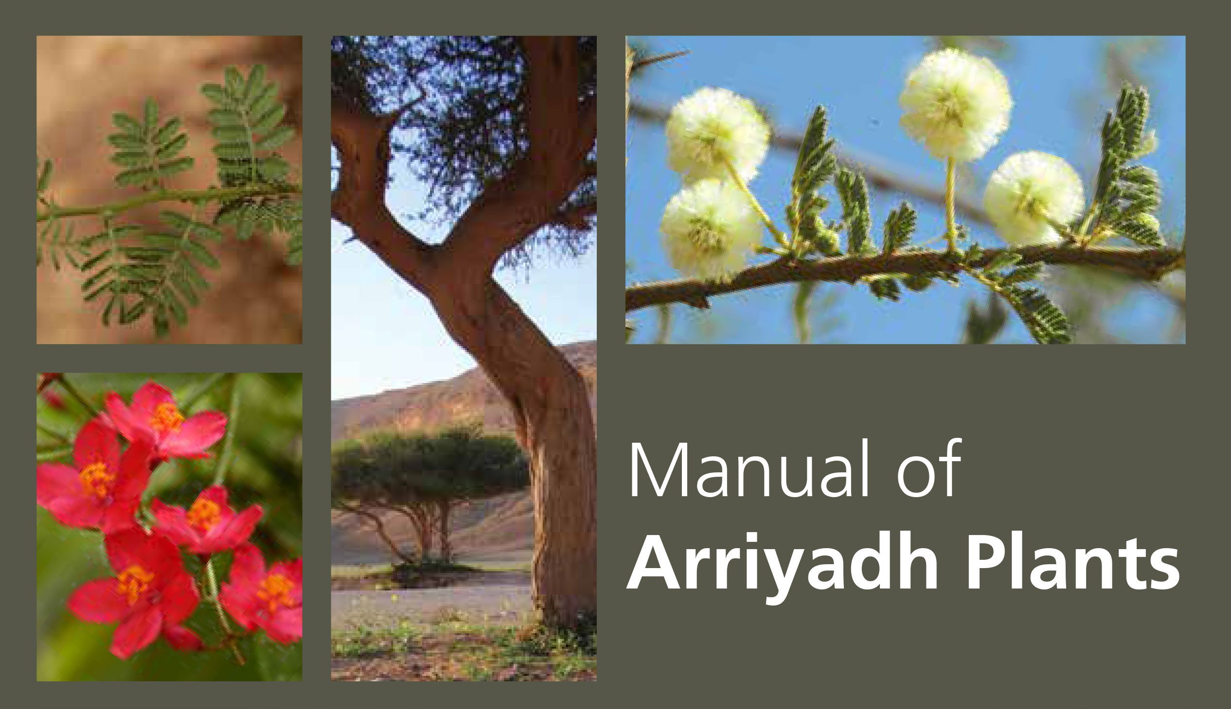
The Manual of Arriyadh Plants provides an overview of plants suitable for cultivation in Riyadh Region. Target groups include amateurs and professionals interested in landscape design and gardening. The bilingual manual informs about the required growing conditions of plants. This includes water quality, soil properties and other plant specifics. The reader learns how to use the plant characteristics to select suitable species for a specific situation and achieve better results in growth quality and open space development.